Clear skies. Moderate wind coming from the north increasing as the evening went on.
Observation: Juneau Mainland
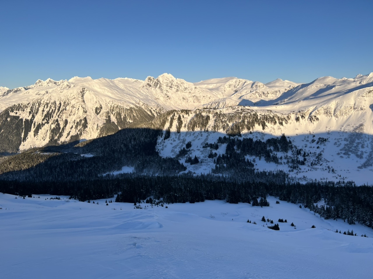
Location: Thunder Mountain
ROUTE: Ascended the summer trail starting at the 7-mile trailhead. Skinned the ridge before descending down towards the East Glacier loop. It is possible to ski all the way to East Glacier if you are comfortable skiing in dense trees. Be careful to avoid the cliffs on Thunder Mountain. Consider a different descent route then what I chose.
OBS: No red flags, no recent avalanche debris.
Weather
Snow surface
Waist and knee deep powder in the trees and wind sheltered areas in the bowl. Wind crusts found over most of the ridge. Rime present in pockets at the highest elevations, particularly on the south-facing final ascent. ~1.5” surface hoar in the first meadow, but very little found in the alpine areas.
Snowpack
Snow pit dug at 2,330’ on a 35 degree, south-facing, test slope just before the final ascent. Snow was ~115 cm at the test slope, and ~160 cm at multiple other spots in the vicinity.
Top powdery layer was ECTN 11 at 10 cm down. A harder layer 40 cm down was ECTN 21. The rain crusts were found at 85 and 75 cm down, and were ECTX.
The ridge was mostly covered in wind slabs, and was shallow enough in some spots to expose grass.

1.5” sized surface hoar, 1st meadow.
72253726-560B-47E2-9540-3F7BC9BBDE41

Track. Photo icon is at the location of the snow pit.