| Trigger | Foot Penetration | Avalanche Type | Hard Slab |
| Aspect | South | Elevation | 2800ft |
| Slope Angle | 50deg | Crown Depth | 12in |
| Width | 35ft | Vertical Run | 50ft |
Avalanche: Juneau Mainland
Location: Thunder Mountain
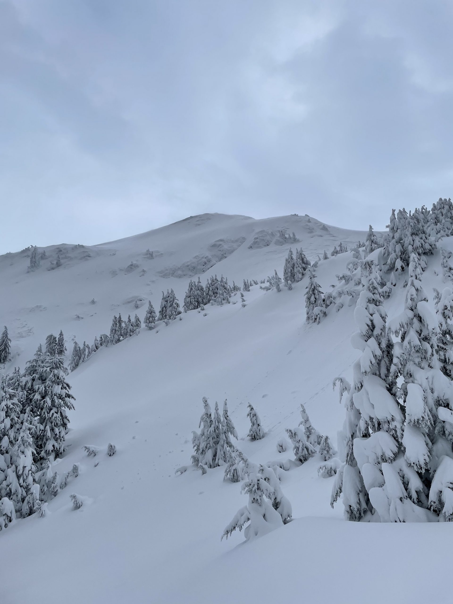
I hiked up the Thunder Mountain Trail starting at the 7 Mile trail head. Transitioned to touring ~1 mile in. Snow obscured the trail, and I had to rely on GPS and the flagging for much of the ascent.
Near Miss / Accident Details
| Number Caught/Carried? | 1 | Number Partially Buried? | 0 |
| Number Fully Buried? | 0 | Number Injured? | 0 |
| Number Fatalities? | 0 |
Avalanche Details
Slab avalanche on wind scoured terrain. Crown was 12-18 inches. Time was 3:00 PM and the slope was south facing.
Events of the day
Was making final approach up Thunder Mountain. It was around 3 PM. Due to the the steepness and icy conditions, transitioned from skinning up to booting up. Avalanche was triggered when I stabbed my hiking pole into the snowpack to provide an anchor for me to grab. The slide propagated to the climbers left, leaving me just barely out of the way.
Ignored numerous red flags (high winds, new snow, and recent avalanches around town) in pursuit of my objective. I promptly turned around after the slide. I did not think to take a picture of the slide until after I left the area. Photo posted was taken earlier on the ascent up.
0953DDCE-EC29-4F61-B67E-A75206095C95